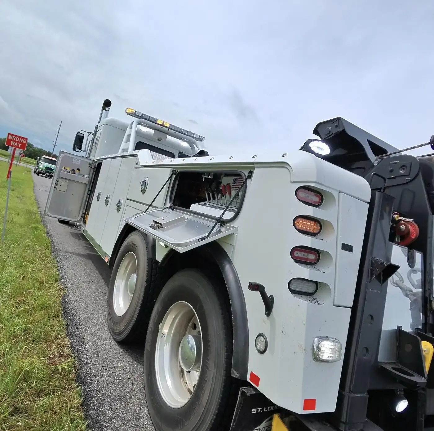
Towing and truck repair across Holt County, Missouri
Titan Tow & Repair covers Holt County, Missouri, around the clock, from Oregon, the county seat, to Mound City, Craig and Big Lake. We run heavy-, medium- and light-duty towing, winch-outs and recovery, and roadside truck and trailer repair on I-29, US-59, US-159 and Route 118, dispatched from our yard in Liberty, Missouri.
I-29 is the through route. It crosses Holt County with an interchange at Route 118 in Mound City and a junction with US-59 just east of Craig. US-59 is the second artery: Oregon, the county seat, sits on it, and it meets the interstate both north and south of town. Route 111 begins in Oregon and runs out to the village of Big Lake in the west of the county, which you reach off Route 118 from Mound City. US-159, Route 113 and Route 120 are the county's other numbered highways. Mound City marks the southern end of the Loess Hills and Oregon stands on high ground near the Missouri River bluffs; west of the interstate, Craig, Big Lake and Fortescue sit down in the river's floodplain and bottom lands.
Low ground sets the working conditions. The Missouri River has moved before: the 1868 flood carried it away from Forest City's steamboat docks, and an old bend it abandoned is now Big Lake. In 2019 floodwater covered parts of the county and some ground was still underwater in late October. Big Lake State Park, on Missouri's largest oxbow lake, brings campers and RVs to the west side of the county, and every spring the snow goose migration pulls visitors and hunters into the corn fields that ring Loess Bluffs National Wildlife Refuge. The state lines are close, with Kansas to the south and southwest and Nebraska to the west, so near the river say which state you are in. When you call, give dispatch the highway or route number, the nearest town, and whether you are up on the hills or down in the bottoms.
The Holt County seat, Oregon, is on US-59, which meets I-29 both north and south of town, and Route 111 begins here. The town itself sits high on the hills between Davis Branch and Mill Creek, close to the Missouri River bluffs, and the Holt County Museum & Research Center is in town.
Holt County's largest town is Mound City, centered near the I-29 and Route 118 interchange at the southern end of the Loess Hills. Loess Bluffs National Wildlife Refuge lies about 5 miles away, and its spring snow goose migration brings hunters and visitors to the surrounding corn fields.
The Nodaway River forms Maitland's east city limit and separates it from Graham, its sister town across the water in Nodaway County. Maitland grew up in 1880 on the Kansas City, St. Joseph and Council Bluffs Railroad, a line later abandoned, and once billed itself the Bluegrass Mecca for its seed harvest. A Maitland farmer, David Ward King, invented the King road drag, a horse-drawn forerunner of the road grader. The town lies in the northeastern Whig Valley, just east of the Route 113 junction with Routes A and C.
Forest City, MO
Route 111 runs west out of Oregon to Forest City, which began as a Missouri River trading post with busy steamboat docks. The 1868 flood pushed the river west, and its channel now lies more than 2.5 miles from town. BNSF still runs trains through every day on the Napier Subdivision, so if you have stopped anywhere near the tracks, say so first when you call. City Hall carries a National Register listing.
Craig, MO
Craig lies in the eastern floodplain of the Missouri River, just west of where US-59 meets I-29, so that junction is the easiest reference point for a breakdown near town. The Burlington Northern line crosses through Craig, and BNSF runs it daily as the Napier Subdivision. Little Tarkio Creek once entered the floodplain at Craig; since the creek was channelized, it does so a few miles east. Mound City is 9 miles southeast.
Big Lake, MO
Big Lake village sits beside the lake it is named for, Missouri's largest oxbow, left behind when the Missouri River changed course. Big Lake State Park next door has the largest marsh of any Missouri state park, and the park draws campers and RVs. The village is on Route 111, reached off Route 118 west of Mound City, and about ten miles from Rulo, Nebraska. If you are in the park, say which side of the lake you are on.
Fortescue, MO
Fortescue was platted as just four blocks where the Burlington Missouri River Railroad met Big Tarkio Creek, now called Old Channel Tarkio Creek. The village lies in the Missouri River bottom lands southeast of Big Lake, about 3.5 miles north of the point where Missouri, Kansas and Nebraska meet, and a few miles west of the Loess Bluffs refuge. US-159 and Route 111 run together just south of the village, and Route P connects it with Bigelow. On ground this low, say whether you are still on pavement.
Corning, MO
Corning is a ghost town: the village disincorporated in 2023 and is now thought to be uninhabited. It was laid out in 1868 on the railroad main line between Kansas City and Council Bluffs, Iowa, and that line is still active. St. John's Evangelical Lutheran Church, added to the National Register in 2008, is the name to give dispatch. Corning lies 5.5 miles northwest of Craig and was hit by the 2019 floods. Route 111 passes the church on its way through the village and out of Holt County.
Just across the county line
Fairfax, MO Atchison County
Just over the county line, Fairfax belongs to Atchison County, the northwesternmost county in Missouri, which does not get a page of its own on this site. The city is about 10 miles north of Craig and has its own Fairfax R-III schools and a branch of the Atchison County Library. Atchison County's highways include I-29, US-59, US-136 and US-275, and its seat is Rock Port.
Can you get a camper or RV unstuck at Big Lake State Park?
Yes. Titan Tow & Repair handles winch-outs and recovery at Big Lake State Park, beside Missouri's largest oxbow lake in western Holt County, at any hour. We recover campers, travel trailers, motorhomes and the pickups towing them, and once the unit is back on firm ground it can ride on a rollback flatbed or behind a heavy wrecker. Tell dispatch the length and weight, whether it is still hitched and which part of the park you are in. The village of Big Lake is on Route 111, off Route 118.
Who do I call for a semi broken down near the I-29 and US-59 junction at Craig?
Call Titan Tow & Repair at (816) 888-8732, day or night. We send a heavy wrecker when a tractor-trailer has to move, and our mobile service truck when the fault can be fixed where it sits, tires included. The junction is just east of Craig, in the Missouri River floodplain, so tell dispatch your direction on I-29, the nearest mile marker, whether you are on the ramp or the shoulder, and whether the trailer is loaded. If the Highway Patrol is already there, say so.
Can you reach a car or pickup that slid off a road in the Missouri River bottoms near Fortescue?
Yes. Titan Tow & Repair winches cars, pickups and trucks back onto the road across the Missouri River bottoms of Holt County, around Fortescue, Big Lake and Craig, 24 hours a day. The bottom land there is low and flat, and the 2019 floods showed how long water can sit on it, so tell us how far off the pavement you are, whether the vehicle has sunk in and whether water is over the road. If anyone is hurt, call 911 first, then call us at (816) 888-8732.