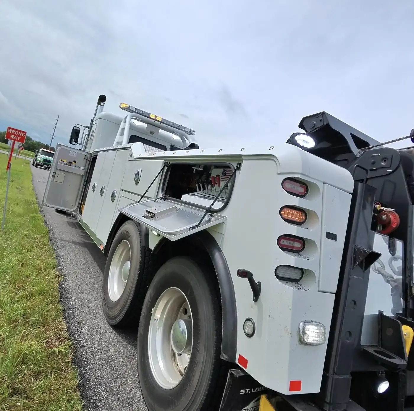
Working the roads in Shawnee County
Shawnee County is Topeka and the Kansas River valley around it. The river runs east across the county just north of center, and most of Topeka lies south of it. I-70 crosses the county through the capital and meets US-75 there, and US-40 rides along with I-70 to the west. The Kansas Turnpike comes up from Emporia as I-335, follows I-470 through Topeka and leaves to the east on I-70; the East Topeka Interchange is where the turnpike, I-70, K-4 and the Oakland Expressway come together. West of the city, US-24 keeps to the north side of the river through Silver Lake and Rossville on its way toward St. Marys.
Away from the interstates the county changes quickly. The western edge turns hilly toward the Flint Hills in Wabaunsee County, the Wakarusa River rises in Auburn Township in the south-west, and Soldier, Mission, Indian and Shunganunga creeks run under the roads on their way to the Kansas River. Lake Shawnee in south-east Topeka has campgrounds, so campers and travel trailers are part of the traffic on city streets as well as the highways. Forbes Field, now Topeka Regional Airport and an Air National Guard base, is south of the city near Pauline. When you call, give us the road and which side of the Kansas River you are on; north of it, the township name (Soldier, Menoken, Silver Lake or Rossville) narrows it down.