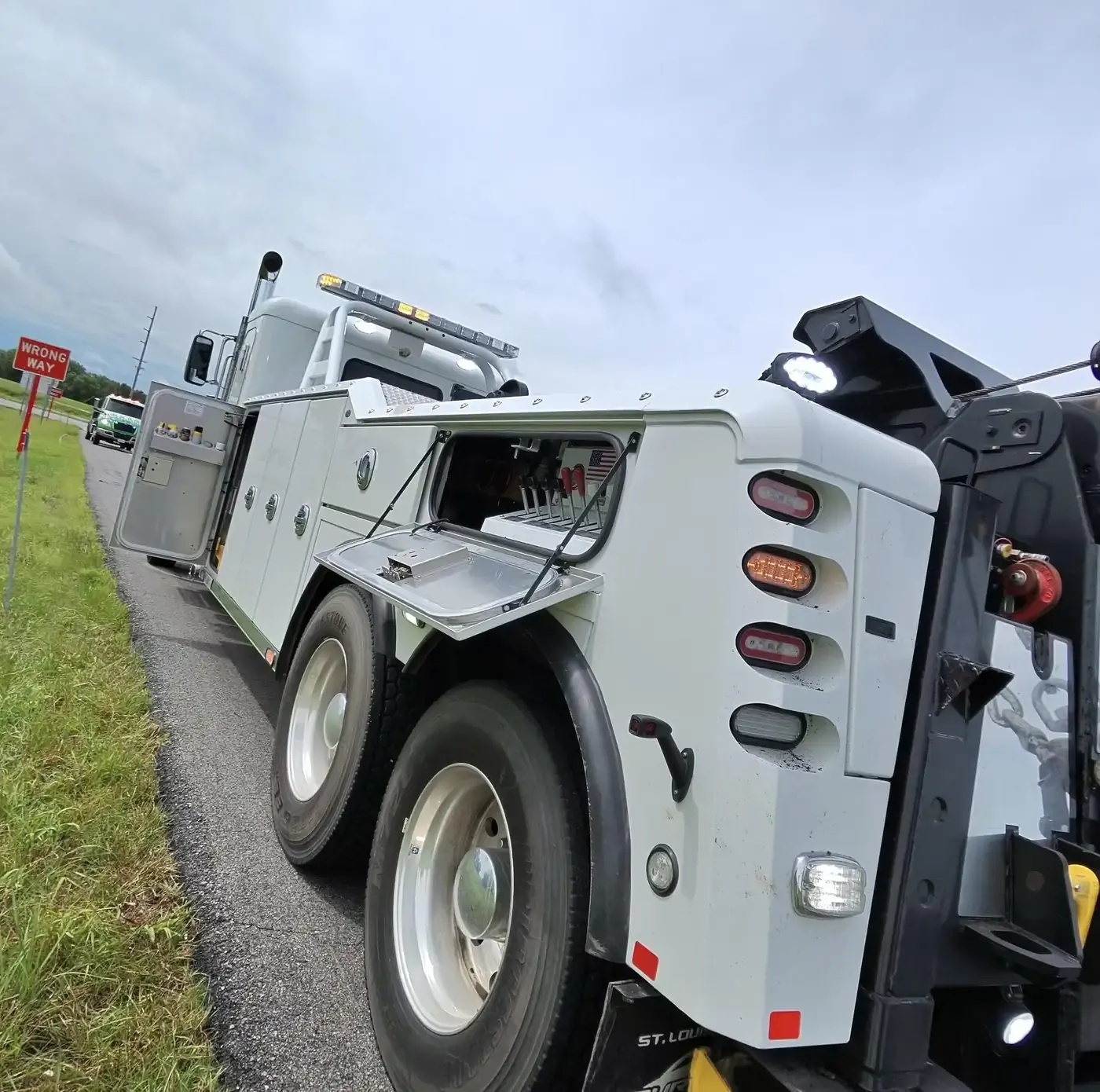
Lyndon, KS
Lyndon, the county seat, lies south of Topeka and west of Ottawa. It was founded in 1869 on land the government took from the Sac and Fox Nation for homesteading, and named for Lyndon, Vermont. Melvern Lake and Pomona State Park are the nearby water, so if you break down on a lake road, tell us which lake.
Osage City, KS
Osage City is the county's largest town, laid out in 1869 after the Santa Fe railway's route was fixed, and it was a busy coal-mining town in the 19th century. K-31 runs through it, US-56 passes just north of town, and the nearest Kansas Turnpike exit is to the west along US-56. It sat on the National Old Trails Road of 1912, and Orbis, which bought Norseman Plastics, is located here.
Carbondale, KS
Carbondale is the first town south of Topeka on US-75, right on the four-lane freeway, and it began as a coal town of the Carbon Coal Company, which gave it its name. One of the Santa Fe Trail markers that the Daughters of the American Revolution placed across Kansas stands here. A stop on the freeway near Carbondale is easiest to find by direction and the closest crossroad.
Overbrook, KS
Overbrook lies south of Topeka and north-west of Ottawa, and the Santa Fe Trail passed through here; its ruts can still be seen in and around town. Overbrook was founded in 1886 on land two settlers donated and named after Overbrook, Pennsylvania, the home town of a railroad construction engineer. Its schools belong to the Santa Fe Trail district.
Burlingame, KS
Burlingame, on US-56 south of Topeka, started as Council City, a stop on the Santa Fe Trail. Its wide brick main street, Santa Fe Avenue, was built so an ox team could make a U-turn, and City Hall is on it. Allen Community College has a campus in town, and Harveyville lies to the north-west.
Scranton, KS
Scranton lies south of Topeka, between Carbondale and Burlingame. It was founded in 1871 as a coal town and named after Scranton, Pennsylvania, for the mining the two shared, and its post office opened the next year. Its schools are in the Santa Fe Trail district with Carbondale and Overbrook.
Melvern, KS
Melvern is a Marais des Cygnes River town east of Emporia and west of Ottawa, named for the Malvern Hills in Worcestershire, England. Melvern Lake is its recreation area, which brings campers and trailers onto the roads around it; give us the campground or access road if you are at the lake rather than in town.
Quenemo, KS
Quenemo stands on the Marais des Cygnes River west of Ottawa and is named for a Sac and Fox chief. A fire in 1878 burned much of the town, and it grew quickly once the Santa Fe railroad was built through in 1884. Pomona State Park is close by, so campers and boat trailers are part of the traffic around town.
Olivet, KS
Olivet is a tiny town near the south side of Melvern Lake, east of Emporia and west of Ottawa. Founded in 1869, within a year it had a general store, a hotel, a sawmill and a wagon and blacksmith business; its post office closed in 1971. With the lake so close, say whether you are in Olivet itself or down at the water.