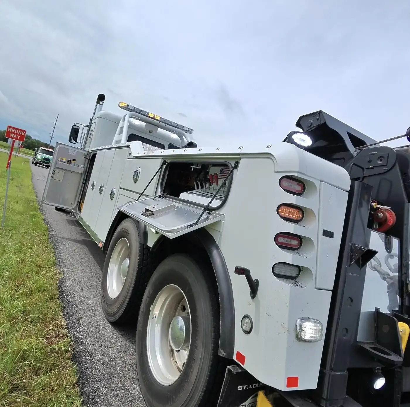
Working the roads in Riley County
Manhattan is the center of Riley County's road map, built where the Big Blue River meets the Kansas River in the Flint Hills. I-70 runs south of the city, and three exits lead up to it: K-177, which runs north as Bill Snyder Highway to the Kansas River viaduct; McDowell Creek Road; and K-18, which comes up past Ogden and Manhattan Regional Airport. US-24 comes in from Clay Center, runs across the north of the city past Tuttle Creek State Park, enters as Tuttle Creek Boulevard and turns north-east at East Poyntz Avenue for Wamego. K-113, Seth Child Road, links K-18 and US-24 across the west side.
Kansas State University and Fort Riley, the Army post between Manhattan and Junction City, put a lot of people on these roads, and big events at Bill Snyder Family Football Stadium and Bramlage Coliseum add more. Downtown Manhattan sits on the floodplain where the two rivers meet, which flooded in the Great Flood of 1951 and again in 1993, and Tuttle Creek Lake to the north is a state park that draws campers. Riley County has no elected sheriff; the county police department does that job, so a county police officer, not a deputy, may be the one at a wreck outside town. Give us the road, the direction and the nearest exit, boulevard or landmark.